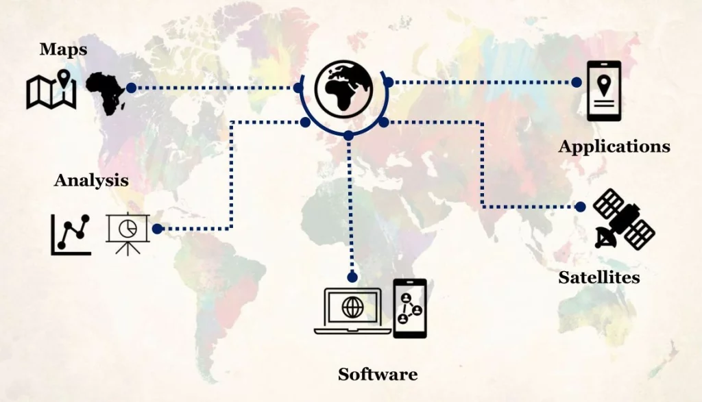
GEOGRAPHCAL INFORMATION SYSTEM (GIS) & MAPPING SOLUTIONS
We offer GIS services with an all-inclusive solution for data management which allows for the visualization of geographic data, analysis of spatial relationships, and efficient data management. The services harness data from different sources to be merged in one common format, which allows for easy access, analysis, and utilization.
Our services include Geospatial map production and analysis, database design and development, Software development and integration, and user training and support which enable your organization to utilize and better understand location information in order to make evidence based decisions.
Other services include: –
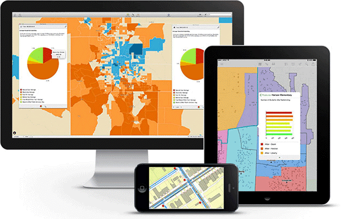
GIS Software supply, installation, customization and user training
GIS Hardware supply, installation and professional recommendation
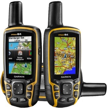
Supply of GPS and other data collection equipment
Provision of Qualified Human Resource for short- & long-term assignments